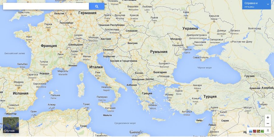
One of the most popular and user-friendly geolocation applications today is Google Maps. Think you know everything about him? There are some application features that many vehicle owners are not even aware of.

Content
Create multiple routes at once
Using Google Maps, you can create not one, but several routes with all the necessary stops. Thanks to this, the driver has the opportunity to pre-configure the route for the day.
Especially this function can be useful for owners of vehicles that are sent to an unfamiliar village. It will not be superfluous in the case when the driver wants to plan his movement for the next day.
In order to configure this function, the driver just needs to click on the “+” sign in the application menu, which makes it possible to add new routes, saving them.
Ability to edit maps
It is possible that some inaccuracies can be found on the map. In this case, the user can independently edit it.
To do this, you need to use the function of the Google Maps Map Maker application, which makes it possible to become a member of the community of cartographers who help to correct detected inaccuracies.
It should be noted that each change must be moderated before they are added to the card.
Save places you visit often
Often, drivers for a certain time visit the same places several times. In order to save traffic, the user can save frequently visited places on Google Maps, and if necessary, simply return to them. When visiting a saved place, the route is built automatically.
Create your own map
The application has an important accessibility feature. It allows each driver to create their own map by sharing it with other users of this useful application.
This functionality makes it possible to mark places on the map, creating your own route along them. For example, having identified several points on the ground, the user develops the simplest route through which you can reach them. The driver informs other users about this.
Display all objects in the visible area
There is such a situation when the driver does not know how to enter the name of the place where he needs to get into the source search. To solve the problem, just select the “*” icon in the application menu and click “search” after that. The application will display objects located in the visible area of the map on the map. Thanks to this, the user can determine the coordinates of the desired object.
This function can also be useful in the case when, being near some object, there is a desire to find out what exactly is located in this place (which organization or enterprise operates here).
In addition, when you click the “*” symbol in the functional menu, the user gets a unique opportunity to find out complete information not only about the organization located here (full address, phone numbers and direction of the organization), but also those that are located close to this place.
These features of Google Maps allow us to state the significance and power of this platform, whose popularity is constantly growing. Reasonable use of it guarantees to make any trip or movement as fast as possible, simple and safe, as well as determine the coordinates of a particular object quickly and accurately.