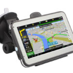
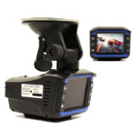
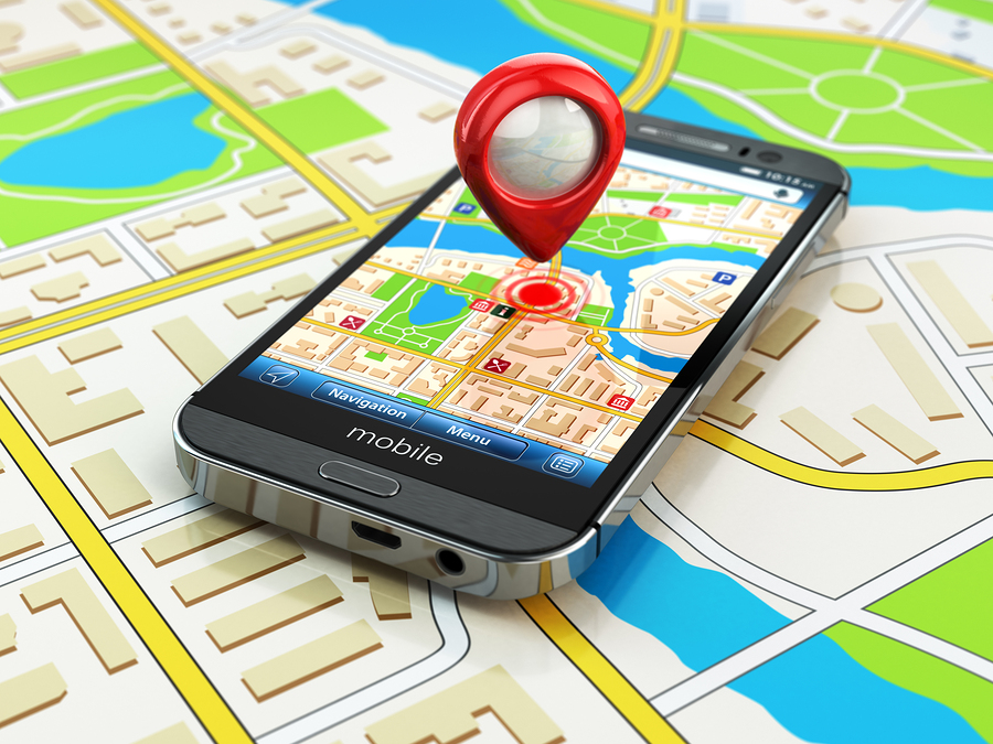
You get used to the good very quickly. So drivers now have no idea how to do without GPS-navigators. After all, these compact devices will regularly lay the shortest and most convenient way to the destination point if the “correct” navigation program is installed on these devices.
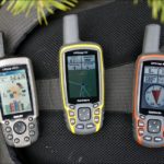
However, the choice of reliable software for the GPS navigator is complicated by numerous offers, which are difficult to understand even for experienced professionals. Fortunately, the first navigators appeared several decades ago. Therefore, programmers managed to develop reliable software for these navigation devices, which has successfully passed the test of time.
Content
Choosing the best program for the navigator
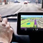
To begin with, most modern GPS navigators get software at the production stage. However, not always the standard version of the navigation program suits car owners. In addition, sometimes manufacturers provide users with their own choice and install the appropriate software.
In such cases, vehicle owners should understand that various models of GPS navigators perform their main task of orienting the driver on the terrain, depending on the functionality that the program installed on this device has.
In addition, manufacturers are constantly updating software, giving it new features. Therefore, it is difficult to imagine a modern navigator model without modules for receiving signals from GLONASS and GPS. As well as adapting to work with the most popular operating systems for mobile phones.
On this, the similarity of navigation programs ends, and the differences begin that relate to:
- card update method (automatic or manual method);
- Ability to work online and offline;
- paid and free software.
We will deal with these differences with specific examples in the form of the "five" of the best navigation programs.
This modern navigation program has a number of advantages over its competitors:
- a large number of useful services (Navitel.Traffic, Navitel.Weather, Navitel.Friends, etc.);
- compatibility with 9 software platforms, including Android, iOS, BlackBerry and WindowsMobile;
- detailed Russian maps;
- the opportunity to purchase an extended package of cards for traveling around Europe;
- regular updates;
- multilingual menu;
- the ability to work offline;
- high-quality technical support;
- availability of free options.
The main disadvantage of Navitel is that it is a paid navigation program. In addition, users of this product criticize:
- ill-conceived interface and poor detailing of graphic images cluttered with icons and obscure symbols;
- excessive requests for operational systems and navigation equipment;
- unpleasant software crashes in dense city traffic and during trips abroad.
Cityguide
Another paid navigation program that will delight drivers with their undoubted advantages:
- compatibility with 8 software platforms;
- quick start;
- detailed maps with objects in 3D-format;
- convenient card packages ("Two Capitals", "Russia", etc.);
- automatic updating of traffic conditions with driver notifications about traffic jams, patrol posts and other objects;
- high-speed modeling of the route and instant correction of the chosen path during forced exits from the road;
- work offline;
- regular updates;
- the ability to work with low-performance OS.
Among the shortcomings of this navigation program, users usually highlight the presence of paid services and the absence of:
- universal search;
- manual scrolling of the map;
- satellite system icon on the home screen.
Yandex Navigator
The only free navigation system in our review that works steadily not only in Russian territory, but throughout the "post-Soviet" space. Car owners value this software for the following reasons:
- can be downloaded for free on Google play, App Store, Windows Phone Store;
- voice control;
- calculation of distance and time of arrival at destination;
- convenient cards with a thoughtful interface;
- automatic switching from 2D to 3D;
- Notification of drivers about obstacles along the way with the suggestion of an alternative route.
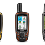
Garmin
We are moving smoothly to imported products, among which the Garmin program should be of interest to the domestic driver. The only drawback of this foreign software is “biting” prices, but it’s difficult to list the advantages of this navigation program. Therefore, we restrict ourselves to the most important advantages:
- detailed maps of Russian territory;
- “photoReal” option, with which you can display real, up to road signs, images of road sections on the navigator’s display;
- convenient interface;
- availability of a model for motorcyclists;
- the availability of free services. Including traffic jams.
IGO
Another paid development of foreign programmers, which at one time - in 2010 - was considered revolutionary in the navigation sphere. The advantages of iGO Primo are considered to be:
- 3D-maps with detailed objects drawn, covering the territory of more than 70 states;
- the presence of a voice assistant and similar controls;
- compatible with 4 software platforms (Windows CE, Windows Mobile, iOS and Android);
- the availability of special versions for freight vehicles;
- door-to-door navigation with automatic - if necessary - route correction.
Key selection criteria
The ideal, as everyone knows, simply does not exist. Therefore, the final choice of software for the GPS navigator should be done based on specific tasks. If the car owner loves a comfortable ride and regularly goes on long journeys, then he should pay attention to paid software, which will not leave him in the absence of the Internet. It is advisable to use free programs in areas with stable network coverage, including in large and small cities.
In any case, special attention should be paid to the map update mode, so as not to go broke on traffic.